Country Mobılıty

Country Mobility

NATIONWIDE MOBILITY, ACTIONABLE INSIGHTS

Country Mobility turns nationwide mass movements into enriched datasets for AI and data analytic teams.

Translate mobility patterns into behavioral audiences you can actually act on. Know who they are, where they spend time, and what they do next.

Country Mobility turns nationwide mass movements into enriched datasets for AI and data analytic teams. Translate mobility patterns into behavioral audiences you can actually act on. Know who they are, where they spend time, and what they do next.

Country Mobility

NATIONWIDE MOBILITY,
ACTIONABLE INSIGHTS

Country Mobility turns nationwide mass movements into enriched datasets for AI and data analytic teams. Translate mobility patterns into behavioral audiences you can actually act on. Know who they are, where they spend time, and what they do next.

Loading globe data…
SarajevoBerlinTokyoLondonNew YorkLos AngelesMiamiSão PauloLagosCairoDubaiMumbaiSingaporeSeoulSydneyJohannesburgMexico CityIstanbul
Loading globe data…
SarajevoBerlinTokyoLondonNew YorkLos AngelesMiamiSão PauloLagosCairoDubaiMumbaiSingaporeSeoulSydneyJohannesburgMexico CityIstanbul
Loading globe data…
SarajevoBerlinTokyoLondonNew YorkLos AngelesMiamiSão PauloLagosCairoDubaiMumbaiSingaporeSeoulSydneyJohannesburgMexico CityIstanbul

An AI intelligence layer for complex mobility data.

Geospatially Enriched

POI matching, coordinates and geohash enrichment.

Geospatially Enriched

POI matching, coordinates and geohash enrichment.

Temporal & Visitation Patterns

Enriched based on dwell and other visitation metrics.

Signals Ingestion

High-quality GPS with timestamp & accuracy.

Outlier Controls

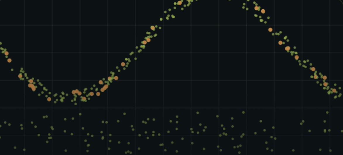
Outlier detection, device stability checks.

Outlier Controls

Outlier detection, device stability checks.

Profile Modeling Layer

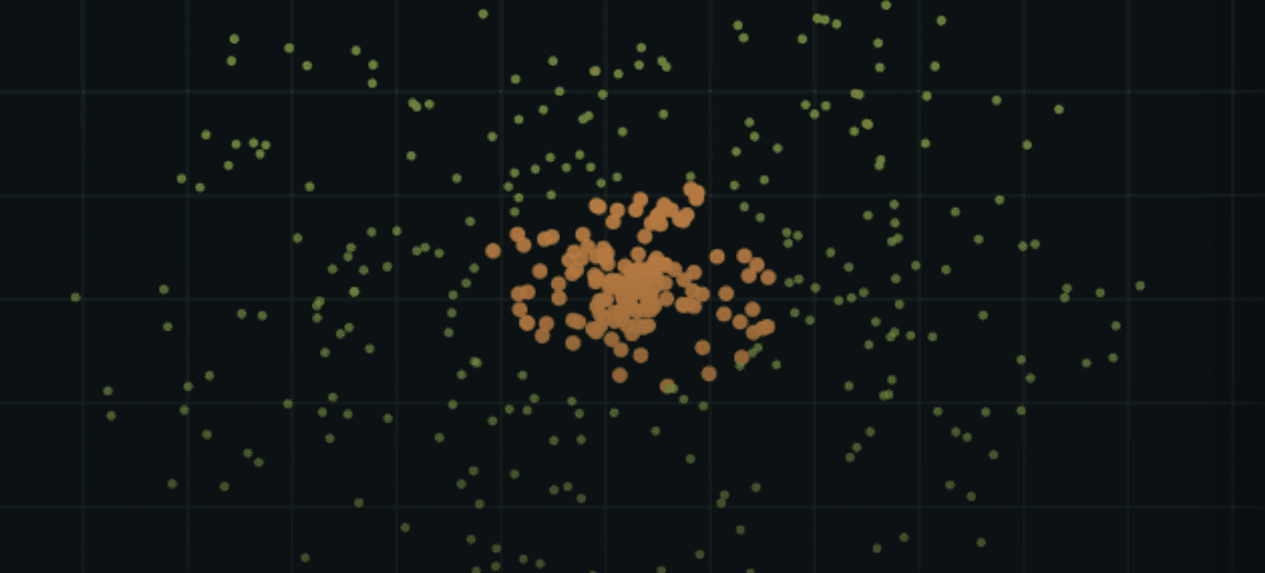
Socioeconomic & demographic behavioral patterns.

Global scale

Access mobility across enriched mobility in 190 countries.

USE CASES

————————————————————————————————————————————

What teams run on Country Mobility AI

Eleven deployments, each written up in full on the Arcanor blog — national agencies, municipalities, energy and industrial operators, and analytics partners.

  • National

    Country mobility monitoring

    Mobility statistics for any area of interest and the movement footprints behind them, in near real time across an entire country.

  • Urban

    City mobility & smart city

    Corridor loads, district activity and hour-by-hour density for transport planning, traffic and public-service decisions.

  • Perimeter

    Border & perimeter movement

    Movement analysis along land and sea borders — routes, crossing points and unusual patterns, with alerting on defined rules.

  • Terrain

    Land border anomaly detection

    Footprints across a national border that reveal informal routes and structures, so surveillance resources go where they are needed.

  • Perimeter

    Irregular crossing analysis

    Concentrated movement around a single entry point, traced back through the settlements it connects to.

  • Energy

    Critical infrastructure activity

    Activity levels around oil fields, plants and remote installations — visitor counts, shift patterns and access routes.

  • Industry

    Night-shift site patterns

    Round-the-clock activity mapping at mines and quarries, isolating night-shift movement from daytime operations.

  • Population

    Migration corridor analysis

    Corridor-level population movement over a defined window — origin, route and settlement, mapped at national scale.

  • Terrain

    Off-grid settlement detection

    Communities and activity forming outside mapped infrastructure, detected across very large, sparsely covered areas.

  • Region

    Foreign visitor mobility

    Where visitors from a given country travel inside a region, how long they stay and which locations they return to.

  • Markets

    Facility signals for investors

    Visitor and employee-visit trends at facilities of interest, read as an early indicator on output, supply chains and financial health.

THE PLATFORM

THE PLATFORM

————————————————————————————————————————————

————————————————————————————————————————————

———————————————

Built to watch a whole territory, not a single site

Built to watch a whole territory, not a single site

Built to watch a whole territory, not a single site

————————————————————

——————————————

—————————————

01 — Anomaly & pattern detection

Day and night baselines, with deviations surfaced as they emerge.

————————————————————

——————————————

————————————————————

——————————————

—————————————

02 — Area & perimeter analysis

Land and sea boundaries, protected zones and areas of interest.

————————————————————

——————————————

—————————————

03 — Rule-based alerting

Define the condition once; Arcanor watches the territory for it continuously.

————————————————————

——————————————

—————————————

04 — Visitor origin & profile

Distinguish residents, domestic visitors and arrivals from other countries.

————————————————————

——————————————

—————————————

05 — Historical path replay

Reconstruct movement over any past window at full spatial detail.

————————————————————

——————————————

—————————————

06 — Real-time data stream

Near real-time delivery into your own systems.

————————————————————

——————————————

—————————————

07 — Geofenced locations

Unlimited custom zones, drawn or imported as polygons.

————————————————————

——————————————

—————————————

08 — Custom charts & scheduled reports

Build the view once, receive it on a schedule by email.

————————————————————

——————————————

—————————————

09 — SQL query builder

Ask questions the interface does not anticipate.

————————————————————

——————————————

—————————————

10 — Application & database integration

Connect Arcanor output to the tools your teams already use.

————————————————————

——————————————

—————————————

11 — Anomaly & pattern detection

Day and night baselines, with deviations surfaced as they emerge.

————————————————————

——————————————

—————————————

12 — Anomaly & pattern detection

Day and night baselines, with deviations surfaced as they emerge.

————————————————————

——————————————

—————————————

Arcanor Vision — reporting dashboard

  • Multi-user access with role definitions

  • Anomaly detection and scheduled reporting

  • Integration with a range of databases

  • Visual customisation and chart templates

  • Advanced filtering and custom SQL

Combine mobility with your own data

Mobility becomes far more valuable next to what you already hold. Arcanor joins its dataset to your CRM, sales, IoT and operational systems on the cloud, so a movement pattern can be read against revenue, capacity or incident data in the same view.

DATA FUSION

————————————————————————————————————————————

——————————————

Mobility is one layer of sixteen

Mobility is one layer of sixteen

Mobility is one layer of sixteen

MOBILE DEVICE

GPS location, app inventory, user profiles, visits, SIM data

MAPPING

Buildings, roads, railways, airports, place types

FLIGHT

Aircraft, altitude, speed, ADS-B, origin, destination, airspace

MARITIME

Vessel type, tonnage, port, route, registered country, AIS

TELECOM

CDR, location, clickstream, call centre, group memberships

SATELLITE

5 cm imagery, synthetic aperture radar, ESA, MeteoSAT

FINANCE

Filings, balance sheets, stocks, indices, commodities

WEB

URL content, authors, publishers, news content

SECURITY

Threat intelligence, GPS spoofing, IP and exploit data

GOVERNMENT

Demographics, transactions, medical and insurance data

ENERGY

Production, electricity consumption, rigs, power plants

AGRICULTURE

Farmland activity, output, type, season, crop health

GEOGRAPHIC

Storms, tsunamis, earthquakes, solar and meteorological data

INTERNET

URL visits, application usage, posts and news

ECONOMIC

Industrial activity, rates, CPI, inflation, imports, exports

MEDIA

Channels, events, captions, speech-to-text

How it works ?

From raw movement to decision act on

Four stages turn physical-world movement into a queryable model of a country — the pipeline behind every use case on this page.

Stage 01

Stage 01

Physical world

Physical world

Everything moving and static on earth — people, vehicles, vessels, aircraft, assets.

————————————————————————

——————————————————————————————

Mobility-Verse

Mobility-Verse

Stage 02

Stage 02

A continuously updated mirror of real movement, assembled from every GPS-bearing source.

————————————————————————

——————————————————————————————

AI Models

AI Models

Stage 03

Stage 03

Arcanor AI resolves, enriches and classifies the signal into the most detailed mobility dataset available.

————————————————————————

——————————————————————————————

Location Intelligence

Location Intelligence

Stage 04

Stage 04

Monitor in real time, replay history, or simulate forward — a top-down view of the whole territory.

————————————————————————

——————————————————————————————

Everything you need to know about Arcanor data.

What is Country Mobility AI?

Country Mobility AI is Arcanor's location intelligence service that shows how people and assets move across an entire country. It turns anonymised GPS signals into near real-time mobility statistics for any area of interest a city, a border region, an industrial site or the whole country. So, organisations can see where activity is happening, how it is changing, and where it is heading.

Where does the data come from?
Which countries are covered?
What can it be used for?
What does the data contain, and how is it delivered?
Is the data privacy-compliant?
What is Country Mobility AI?

Country Mobility AI is Arcanor's location intelligence service that shows how people and assets move across an entire country. It turns anonymised GPS signals into near real-time mobility statistics for any area of interest a city, a border region, an industrial site or the whole country. So, organisations can see where activity is happening, how it is changing, and where it is heading.

Where does the data come from?
Which countries are covered?
What can it be used for?
What does the data contain, and how is it delivered?
Is the data privacy-compliant?

NEXT STEP

See your own territory in the Mobility-Verse

Send us a country, a border, a city or a set of sites. We will come back with a live view of how it moves — built on the same data your teams would work with every day.

NEXT STEP

See your own territory in the Mobility-Verse

Send us a country, a border, a city or a set of sites. We will come back with a live view of how it moves — built on the same data your teams would work with every day.